| Bayreuth | |
|---|---|
| — District — | |
 |
|
| Country | |
| State | Bavaria |
| Adm. region | Oberfranken |
| Capital | Bayreuth |
| Area | |
| • Total | 1,273 km2 (492 sq mi) |
| Population (31 December 2010)[1] | |
| • Total | 106,102 |
| • Density | 83/km2 (220/sq mi) |
| Time zone | CET (UTC+1) |
| • Summer (DST) | CEST (UTC+2) |
| Vehicle registration | BT |
| Website | landkreis-bayreuth.de |
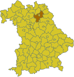
Bayreuth is a district in Bavaria, Germany. It surrounds, but does not include the city of Bayreuth. The district is bounded by (from the north and clockwise) the districts of Kulmbach, Hof, Wunsiedel im Fichtelgebirge, Tirschenreuth, Neustadt an der Waldnaab, Amberg-Sulzbach, Nürnberger Land, Forchheim and Bamberg.
History[]
The district was established in 1972 by merging the former districts of Bayreuth and Pegnitz, adding the town Gefrees of the former district of Münchberg and the town of Speichersdorf of the former district of Kemnath.
Geography[]
The sources of the White Main and the Red Main are both located in the district. The Red Main rises in the very south in the hills of the Frankish Alb, the White Main has its source in the Fichtelgebirge mountains in the east. Both rivers run to the northwest, but do not meet within the district's borders.
The valley of the Red Main separates the two major geographical regions of the district from each other: the hilly countryside of the Frankish Alb and the much higher Fichtelgebirge.
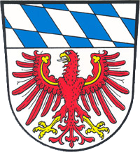
Coat of arms[]
|
The arms display the heraldic eagle of the Hohenzollern dynasty together with the white and blue pattern of Bavaria. |
Towns and municipalities[]
| Towns | Municipalities | |
|---|---|---|
|
|
|
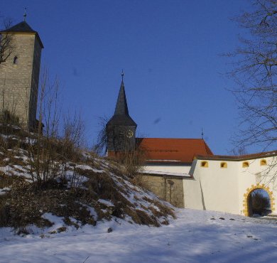
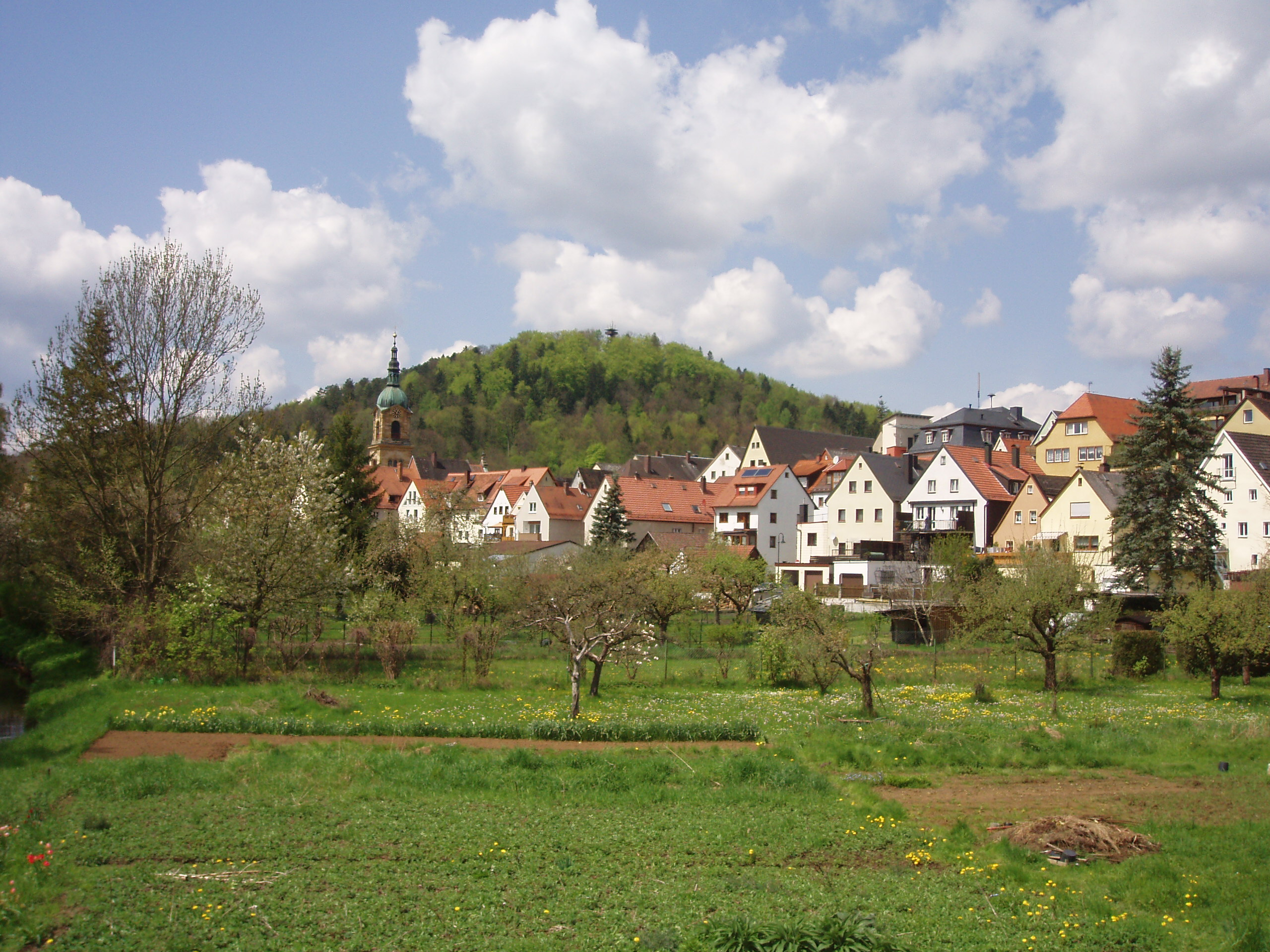
Sights[]
|
Schloss Aufseß | Aufseß |
| Schloss Fantaisie | Eckersdorf | |
| Schloss Freienfels | Hollfeld | |
| Hollfeld | Hollfeld | |
|
Pegnitz | Pegnitz |
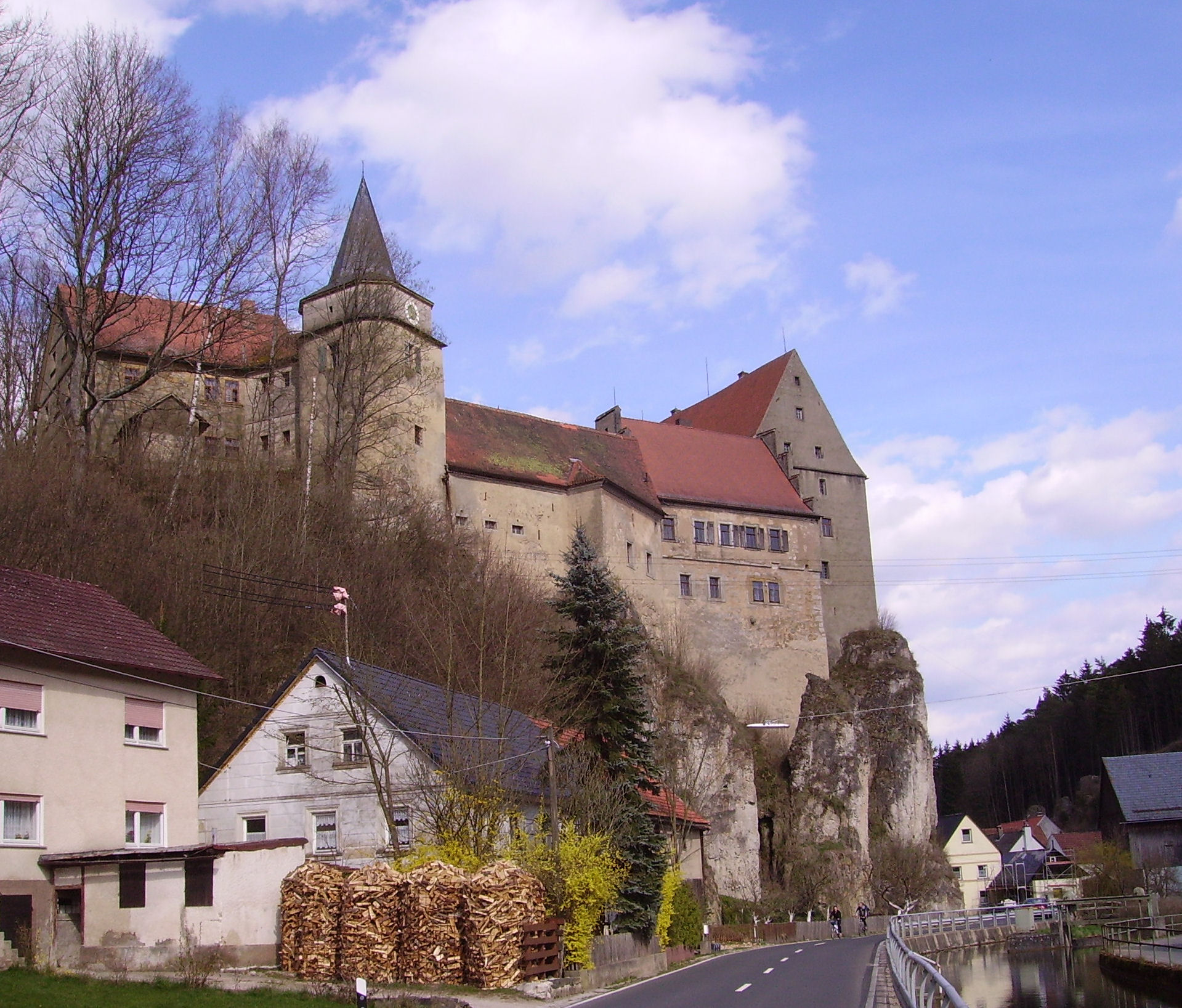
| Burg Pottenstein | Pottenstein | |
|
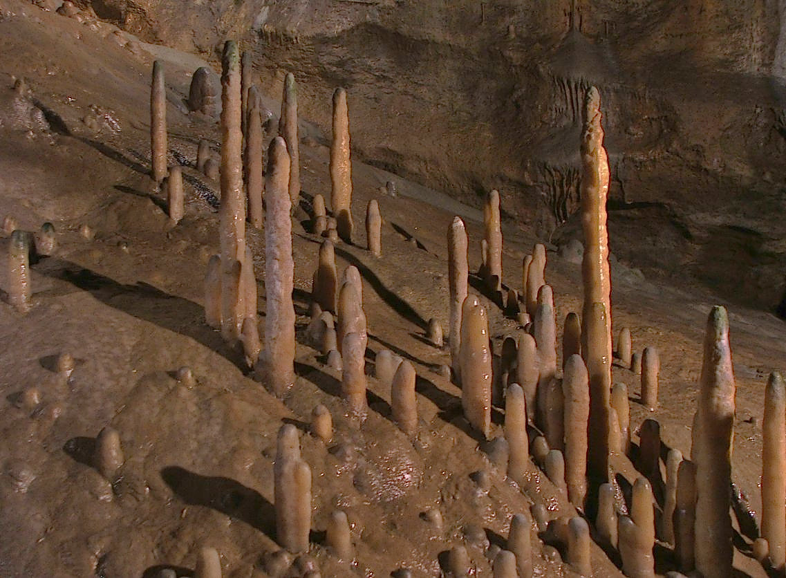
Teufelshöhle | Pottenstein |

|
Tüchersfeld | Pottenstein |
| Burg Waischenfeld | Waischenfeld | |
|
Schloss Wiesentfels | Hollfeld |
References[]
- ^ "Fortschreibung des Bevölkerungsstandes" (in German). Bayerisches Landesamt für Statistik und Datenverarbeitung. 31 December 2010. https://www.statistikdaten.bayern.de/genesis/online?language=de&sequenz=tabelleErgebnis&selectionname=12411-009r&sachmerkmal=QUASTI&sachschluessel=SQUART04&startjahr=2010&endjahr=2010.
External links[]
- Official website (German)