| ||||||||||||||
| Brown County, Wisconsin | |
 Location in the state of Wisconsin | |
 Wisconsin's location in the U.S. | |
| Founded | 1818 |
|---|---|
| Seat | Green Bay |
| Area - Total - Land - Water |
615 sq mi (1,593 km²) 529 sq mi (1,370 km²) 87 sq mi (225 km²), 14.10% |
| Population - (2010) - Density |
248,007 300/sq mi (116/km²) |
| Website | www.co.brown.wi.us |
Brown County is a county in the U.S. state of Wisconsin. As of 2010, the population was 248,007.[1] The county seat is Green Bay. The United States Census Bureau's Green Bay Metropolitan Statistical Area includes all of Brown, Kewaunee, and Oconto counties.
Brown County is one of Wisconsin's two original counties along with Crawford County and originally spanned the entire eastern half of the state when formed by the Michigan Territorial legislature in 1818. It has since been subdivided to its present area. It was named for Major General Jacob Brown, a successful military leader during the War of 1812.
Geography
According to the U.S. Census Bureau, the county has a total area of 615 square miles (1,592.8 km2), of which 529 square miles (1,370.1 km2) is land and 87 square miles (225.3 km2) (14.10%) is water.
Adjacent counties
- Oconto County – north
- Kewaunee County – east
- Manitowoc County – southeast
- Calumet County – southwest
- Outagamie County – west
- Shawano County – northwest
Major highways
|
|
Demographics


2000 Census Age Pyramid for Brown County.
| Historical populations | |||
|---|---|---|---|
| Census | Pop. | %± | |
| 1900 | 46,359 | ||
| 1910 | 54,098 | 16.7% | |
| 1920 | 61,889 | 14.4% | |
| 1930 | 70,249 | 13.5% | |
| 1940 | 83,109 | 18.3% | |
| 1950 | 98,314 | 18.3% | |
| 1960 | 125,082 | 27.2% | |
| 1970 | 158,244 | 26.5% | |
| 1980 | 175,280 | 10.8% | |
| 1990 | 194,594 | 11.0% | |
| 2000 | 226,778 | 16.5% | |
| 2010 | 248,007 | 9.4% | |
| WI Counties 1900-1990 | |||
As of the census[2] of 2000, there were 226,778 people, 87,295 households, and 57,527 families residing in the county. The population density was 429 people per square mile (166/km²). There were 90,199 housing units at an average density of 171 per square mile (66/km²). The racial makeup of the county was 91.14% White, 1.16% Black or African American, 2.29% Native American, 2.18% Asian, 0.03% Pacific Islander, 1.90% from other races, and 1.30% from two or more races. 3.84% of the population were Hispanic or Latino of any race. 33.8% were of German, 8.9% Polish, 7.8% Belgian and 6.8% Irish ancestry according to Census 2000. 93.2% spoke English, 3.8% Spanish and 1.2% Hmong as their first language.
There were 87,295 households out of which 33.90% had children under the age of 18 living with them, 53.20% were married couples living together, 8.90% had a female householder with no husband present, and 34.10% were non-families. 26.50% of all households were made up of individuals and 8.40% had someone living alone who was 65 years of age or older. The average household size was 2.51 and the average family size was 3.08.
In the county, the population was spread out with 26.10% under the age of 18, 10.50% from 18 to 24, 31.90% from 25 to 44, 20.90% from 45 to 64, and 10.70% who were 65 years of age or older. The median age was 34 years. For every 100 females there were 98.90 males. For every 100 females age 18 and over, there were 96.90 males.
Government
The legislative branch of Brown County is the 26-member Board of Supervisors. Each member represents a single member district and serves a two-year term, with elections held in the spring of even-numbered years. The Board of Supervisors elects a Chairman and Vice Chairman from its membership.
The executive branch of Brown County is the County Executive, who is elected in the Spring of every other odd-numbered year. The executive appoints department heads with the approval of the County Board. The current county executive is Tom Hinz.
Brown County has several other elected officials that are established under the Wisconsin State constitution and are referred to as the Constitutional Officers. Constitutional Officers are the only partisan elected officials within Brown County Government, as the Executive and County Board are non-partisan positions.
The current Constitutional Officers are:
- County Executive: Troy Streckenbach
- Clerk: Darlene Marcelle (R)
- Clerk of Circuit Courts: Jason B. Beck (R)
- District Attorney: John P. Zakowski (R)
- Register of Deeds: Cathy Williquette (D)
- Sheriff: John Gossage (R)
- Treasurer: Kerry Blaney (D)
Cities, villages, and towns
Cities
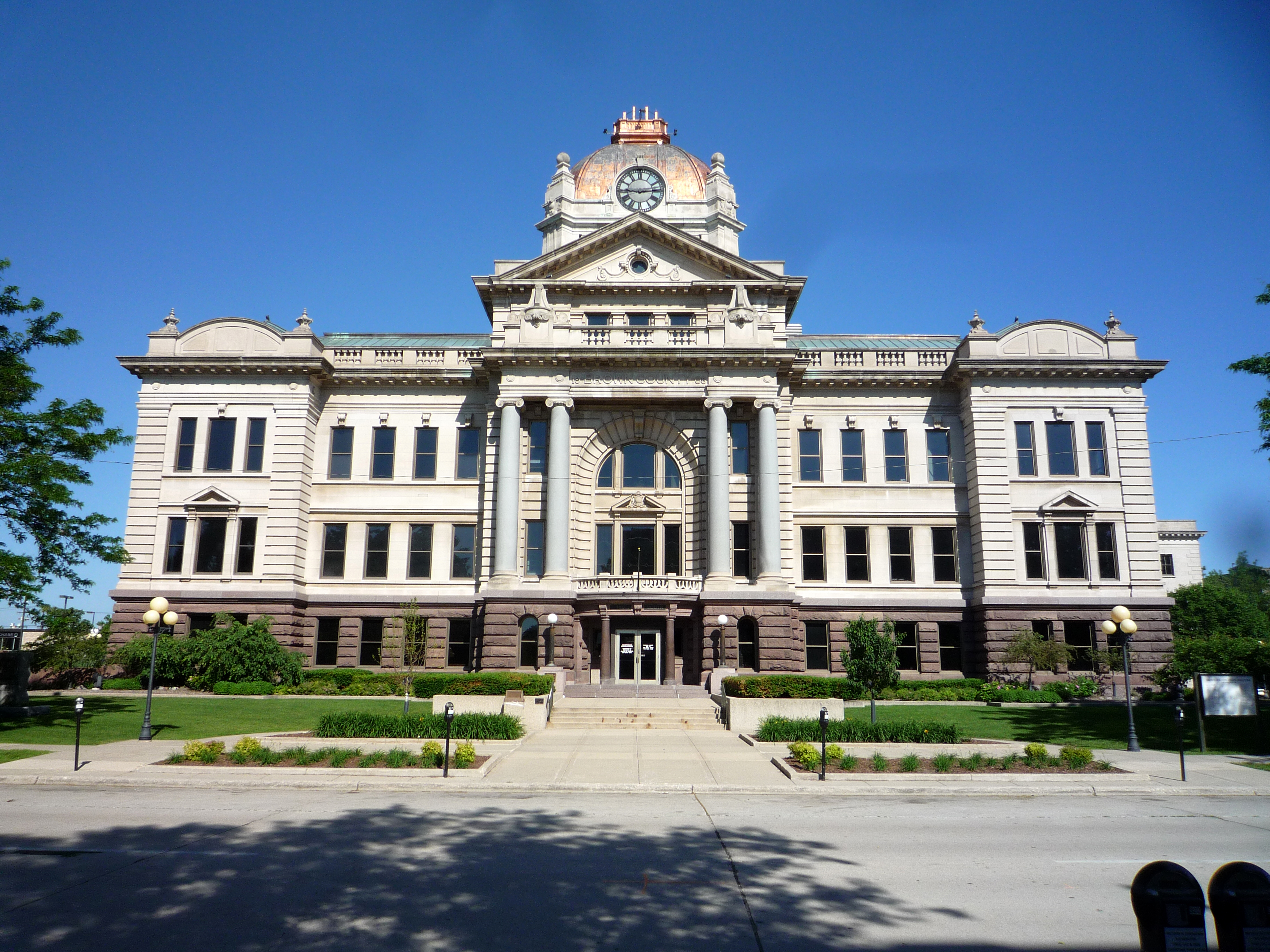

Brown County Courthouse in Green Bay
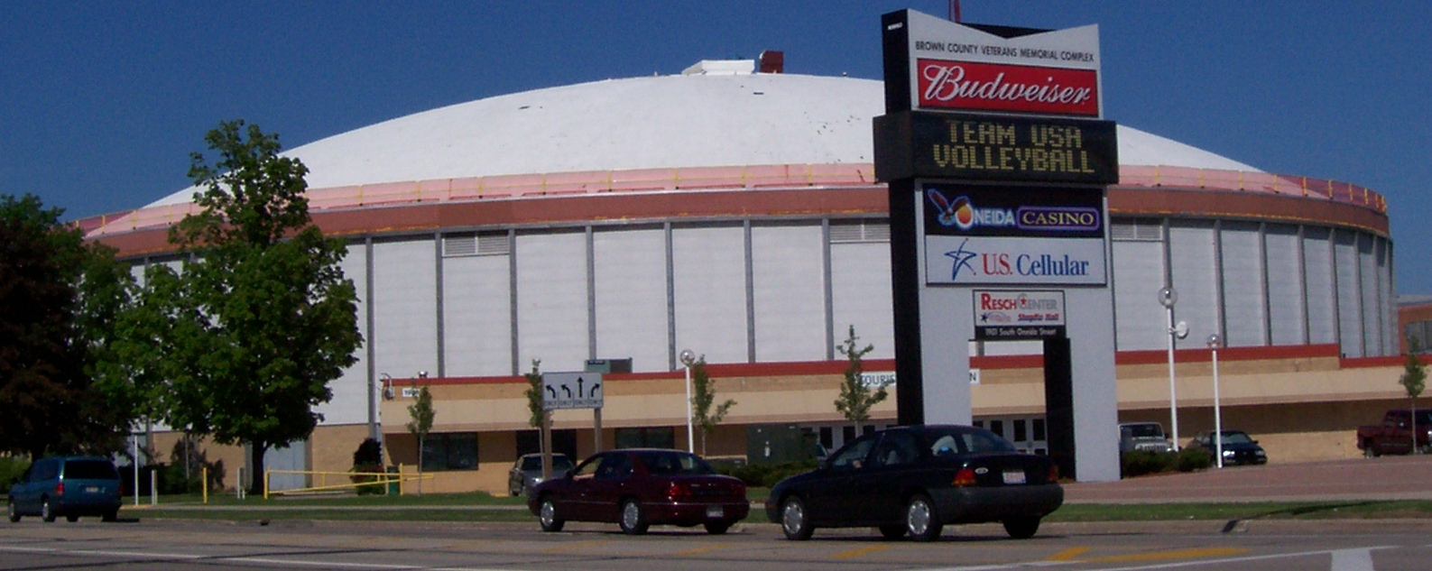

Brown County Veterans Memorial Arena


Farmland in rural Brown County
Villages
|
|
|
Towns
|
|
|
|
Unincorporated communities
- Anston
- Askeaton
- Benderville
- Bay Settlement
- Champion
- Dyckesville
- Fontenoy
- Greenleaf
- Henrysville
- Hollandtown
- Humboldt
- Kolb
- Kunesh
- Langes Corners
- Lark
- Little Rapids
- Morrison
- New Franken
- Pine Grove
- Pittsfield (partial)
- Poland
- Shirley
- Sugar Bush
- Wayside
See also
- National Register of Historic Places listings in Brown County, Wisconsin
References
- ^ http://factfinder.census.gov/servlet/SAFFPopulation?_event=Search&geo_id=05000US55139&_geoContext=01000US%7C04000US55%7C05000US55139&_street=&_county=brown+county&_cityTown=brown+county&_state=04000US55&_zip=&_lang=en&_sse=on&ActiveGeoDiv=geoSelect&_useEV=&pctxt=fph&pgsl=050&_submenuId=population_0&ds_name=null&_ci_nbr=null&qr_name=null®=null:null&_keyword=&_industry=
- ^ "American FactFinder". United States Census Bureau. http://factfinder.census.gov. Retrieved 2008-01-31.
External links
- Brown County website
- Northeast Wisconsin Historical County Plat Maps & Atlases University of Wisconsin Digital Collections Center
- Commemorative Biographical Record of the Fox River Valley Counties of Brown, Outagamie and Winnebago

|
Shawano County | Oconto County | Green Bay |
|
| Outagamie County | Kewaunee County | |||
 Brown County, Wisconsin | ||||
| Calumet County | Manitowoc County |
| ||||||||||||||||||||

| |||||||||||||||||||||||||||||

| This page uses content from the English language Wikipedia. The original content was at Brown County, Wisconsin. The list of authors can be seen in the page history. As with this Familypedia wiki, the content of Wikipedia is available under the Creative Commons License. |