| Main | Births etc |
|---|
| Ellenborough | |
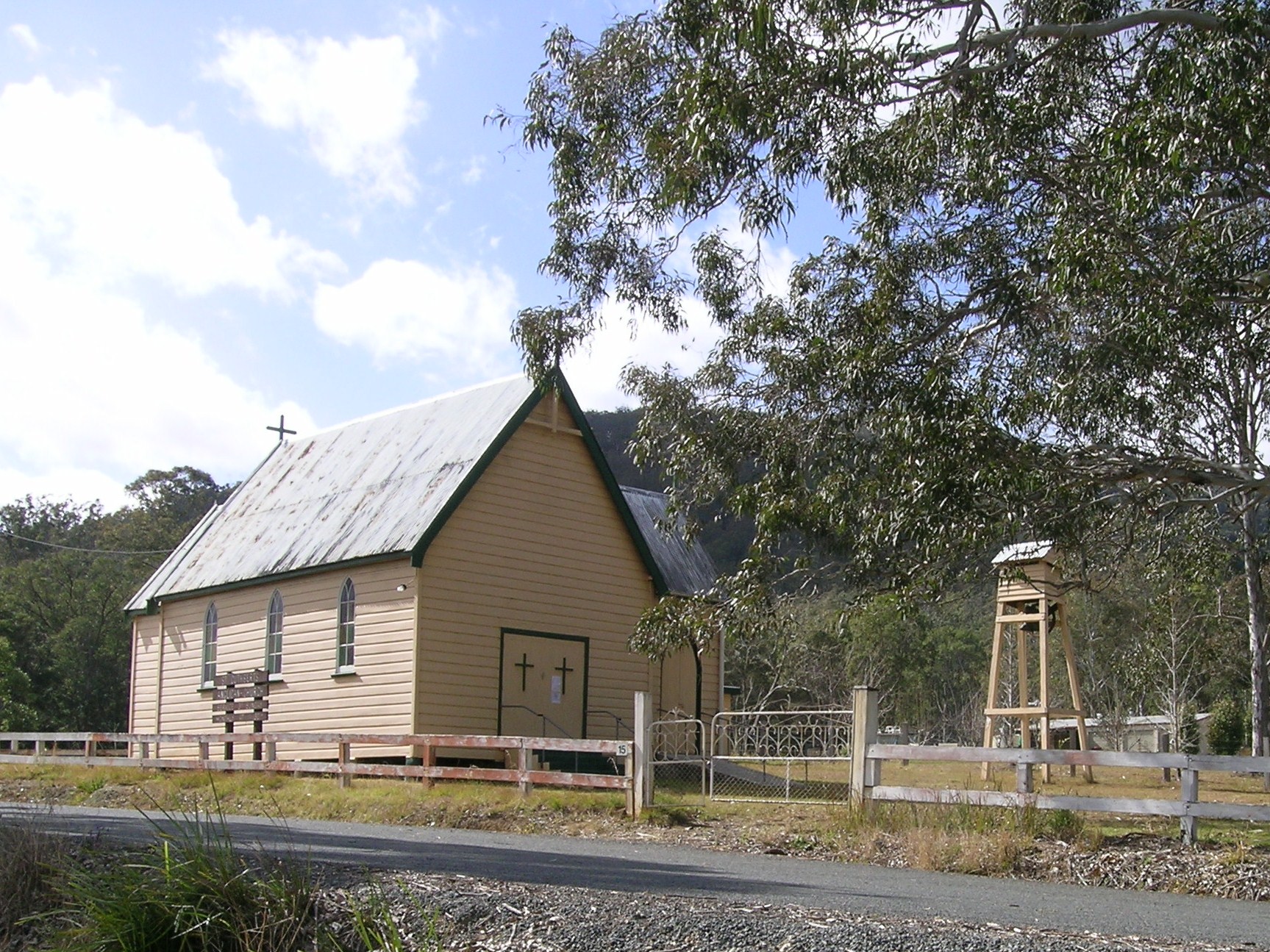 Church, Ellenborough | |

Ellenborough | |
| Population: | 359 (2006)[1] |
| Postcode: | 2446 |
| Coordinates: | [2]Coordinates: [2] |
| Elevation: | 70 m (230 ft) |
| Location: | 33 km (21 mi) from Wauchope, New South Wales |
| LGA: | Port Macquarie-Hastings Council |
| County: | Macquarie |
| State District: | Oxley |
| Federal Division: | Lyne |
Ellenborough is a parish and village straddling the Oxley Highway and the Ellenborough River, less than one kilometre south of its confluence with the Hastings River. The village is about 33 km west of Wauchope and approximately 71 km east of Walcha. The boundaries are within the Port Macquarie-Hastings Council and Macquarie County.
The village was named by the surveyor and explorer, John Oxley, after Edward Law, 1st Baron Ellenborough (1750–1818), Lord Chief Justice of England and Wales.[3]
The area has a diverse range of birds including bowerbirds, king parrots, kingfishers, honeyeaters and wedge-tailed eagles. Native animals include kangaroos, wallabies, echidnas, koalas and possums. Goannas, turtles and platypus may also be seen and there are fish in the river.
Big Nellie Hakea (Hakea archaeoides) and Tree Guinea Flower (Hibbertia hexandra) are threatened flora species that are growing in the region.[4]
This is mostly an agricultural region with dairy farming and beef cattle breeding the main industries.[1]
Heritage items of significance in the village include: Ellenborough Cemetery and the police station along with the large trees growing there. A camping reserve is situated in the north eastern corner of the village, near the Hastings River.
The Ellenborough Public School has now been closed. The Long Flat village which is about 4 km east of Ellenborough has a public school, hotel, recreation ground and general store. The census does not record Long Flat's population, however the Electoral district of Oxley records show that 296 people voted there in 2007.[5] Long Flat voting in the Division of Lyne recorded 286 voters there in 2007.[6] Ellenborough did not have a polling venue for these elections.
See also[]
References[]
- ^ a b Australian Bureau of Statistics (25 October 2007). "Ellenborough (State Suburb)". 2006 Census QuickStats. http://www.censusdata.abs.gov.au/ABSNavigation/prenav/LocationSearch?collection=Census&period=2006&areacode=SSC17095&producttype=QuickStats&breadcrumb=PL&action=401. Retrieved 2009-02-25. This population probably includes nearby Long Flat as it is not recorded in the census..
Cite error: Invalid
<ref>tag; name "abs" defined multiple times with different content - ^ "Ellenborough". Gazetteer of Australia online. Geoscience Australia, Australian Government. http://www.ga.gov.au/bin/gazd01?rec=49069. Retrieved 25 December 2009.
- ^ Origin of Place Names
- ^ Threatened Species
- ^ 2007 State Election Results Retrieved on 9-3-2009
- ^ AEC POLLING PLACE - LONG FLAT Retrieved on 9-3-2009
| |||||||||||||||||||||||||||||
| This page uses content from the English language Wikipedia. The original content was at Ellenborough, New South Wales. The list of authors can be seen in the page history. As with this Familypedia wiki, the content of Wikipedia is available under the Creative Commons License. |