| Main | Births etc |
|---|
- 'For the Melbourne suburb, see Surrey Hills, Victoria
| Surry Hills Sydney, | |||||||||||||
 Corner of Elizabeth and Albion Street | |||||||||||||
| Population: | 15,036[1] | ||||||||||||
| Postcode: | 2010 | ||||||||||||
| Area: | 1.2 km² (0.5 sq mi) | ||||||||||||
| Property Value: | AUD $780,000 [2] | ||||||||||||
| Location: | 1 km (1 mi) south-east of Sydney CBD | ||||||||||||
| LGA: | City of Sydney | ||||||||||||
| State District: | Sydney | ||||||||||||
| Federal Division: | Sydney | ||||||||||||
| |||||||||||||
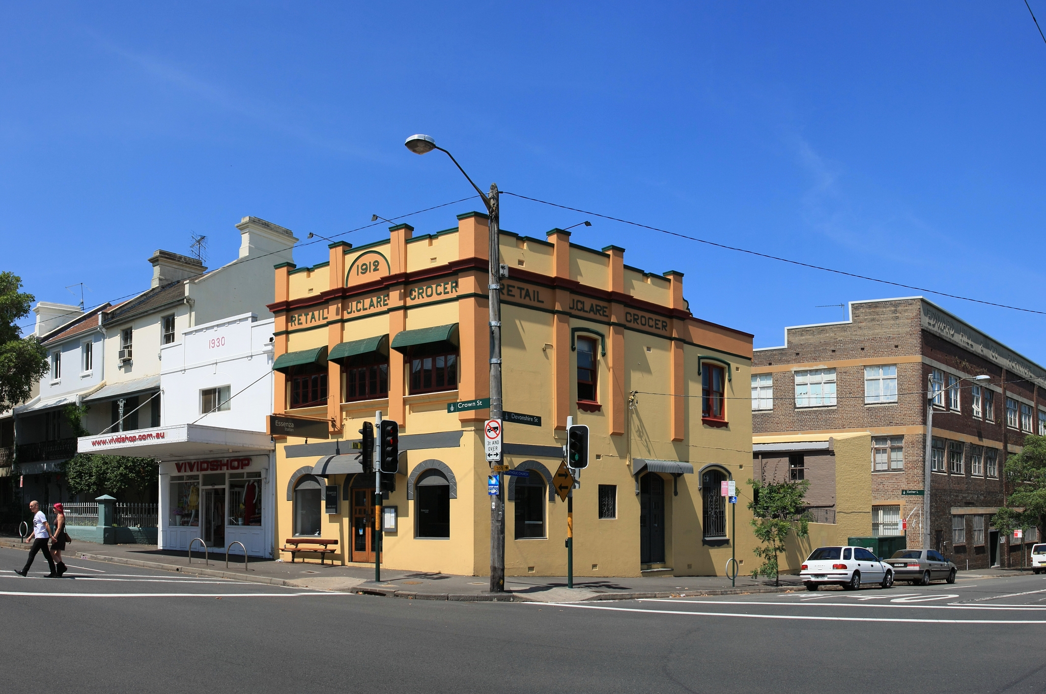
Heritage building on Crown Street
Surry Hills is an inner-city suburb of Sydney, in the state of New South Wales, Australia. Surry Hills is located immediately south-east of the Sydney central business district in the local government area of the City of Sydney. Surry Hills is surrounded by the suburbs of Darlinghurst to the north, Chippendale and Haymarket to the west, Moore Park and Paddington to the east and Redfern to the south.[3]
Central is a locality in the north-west of the suburb around Central Station. Prince Alfred Park is located nearby. Strawberry Hills is a locality around Cleveland and Elizabeth streets.
History[]
The first land grants in Surry Hills were made in the 1790s. Major Joseph Foveaux received 105 acres. His property was known as Surry Hills Farm, after the Surrey Hills in Surrey, England. Foveaux Street is named in his honour.[4] Commissary John Palmer received 90 acres. He called the property George Farm and in 1800 Palmer also bought Foveaux's farm. In 1792, the boundaries of the Sydney Cove settlement were established between the head of Cockle Bay to the head of Woolloomooloo Bay. West of the boundary, which included present-day Surry Hills, was considered suitable for farming and was granted to military officers and free settlers.
After Palmer's political failures, his reduced financial circumstances forced the first subdivision and sale of his estate in 1814. Isaac Nichols bought Allotment 20, comprising over 6 acres. Due to the hilly terrain, much of the suburb was considered remote and 'inhospitable'.
In the early years of the nineteenth century the area around what is now Prince Alfred Park was undeveloped land known as the Government Paddocks or Cleveland Paddocks. A few villas were built in the suburb in the late 1820s. The suburb remained one of contrasts for much of the nineteenth century, with the homes of wealthy merchants mixed with that of the commercial and working classes.

Cleveland Street High School
In 1820, Governor Macquarie ordered the consecration of the Devonshire Street Cemetery. A brick wall was erected before any interments took place to enclose its four acres. Within a four year period the cemetery was expanded by the addition of seven acres to its south. A road was formed along the southern boundary of the cemetery in the first half of the 1830s and was called Devonshire Street The Devonshire Street cemetery, where many of the early settlers were buried, was later moved to build the Sydney railway terminus. Central railway station was opened on the 4th August 1906. The area around Cleveland and Elizabeth streets was known as Strawberry Hills. Strawberry Hills post office was located at this intersection for many years.[5]
In 1833, the Nichol's estate was subdivided and sold. One purchase was by Thomas Broughton and subsequently acquired by George Hill who constructed Durham Hall on this and adjoining lots. Terrace houses and workers' cottages were built in Surry Hills from the 1850s. Light industry became established in the area, particularly in the rag trade (clothing industry). It became a working class suburb, predominately inhabited by Irish immigrants. The suburb developed a reputation for crime and vices.
Surry Hills was favoured by newly arrived families after World War II when property values were low and accommodation was inexpensive. From the 1980s, the area was gentrified, with many of the area's older houses and building restored and many new upper middle-class residents enjoying the benefits of inner-city living.
Trams[]


Trams lines from Eddy Avenue running into Elizabeth Street, Surry Hills in the early 1940s
The West Kensington via Surry Hills Line operated from 1881 down Crown St as far as Cleveland St as a steam tramway. It was extended to Phillip St in 1909, Todman Ave in 1912, and then to its final terminus down Todman Ave in 1937. When the line was fully operational it branched from the tramlines in Oxford St and proceeded down Crown St to Cleveland St in Surry Hills, then south along Baptist St to Phillip St, where it swung left into Crescent St before running south along Dowling St. It passed the Dowling St Depot, then tuned left into Todman Ave where it terminated at West Kensington. The line along Crown Street closed in 1957, the remainder stayed open until 1961 to allow access to Dowling St Depot. Sydney Buses routes 301, 302 and 303 generally follow the route down Crown and Baptist Sts as far as Phillip St.
Urban character[]
Surry Hills has a mixture of residential, commercial and light industrial areas. It remains Sydney's main centre for fashion wholesale activities, particularly on the western side. Crown Street is the heart of the Surry Hills community, featuring a mix of cafes, restaurants, fashion and homewares stores. The Surry Hills Shopping Village (formerly Redfern Shopping Village) is a shopping centre on Cleveland Street, on the border with Redfern. Oxford Square is a shopping centre on Oxford Street, on the border with Darlinghurst. Surry Hills Markets are held in Shannon Reserve at the corner of Crown and Collins Streets, on the first Saturday of every month, and the Surry Hills Festival is an annual community event, attracting tens of thousands of visitors, held in Prince Alfred Park. The Surry Hills Library and Community Centre sits opposite Shannon Reserve and houses the local branch of the city library and the Surry Hills Neighbourhood Centre. The building was "designed to achieve excellence in sustainable design and set new benchmarks in environmental performance" according to the City of Sydney website.[6]
Transport[]
Central railway station, the largest station on the CityRail network, sits on western edge of Surry Hills. Surry Hills is also serviced by State Transit Authority buses. The Eastern Distributor is a major road, on the eastern edge of the suburb. Major thoroughfares are Crown Street, Cleveland Street, Bourke Street and Foveaux Street. Surry Hills is within easy walking distance of the Sydney CBD, and is included in a widening network of cycleways.
Places of worship[]
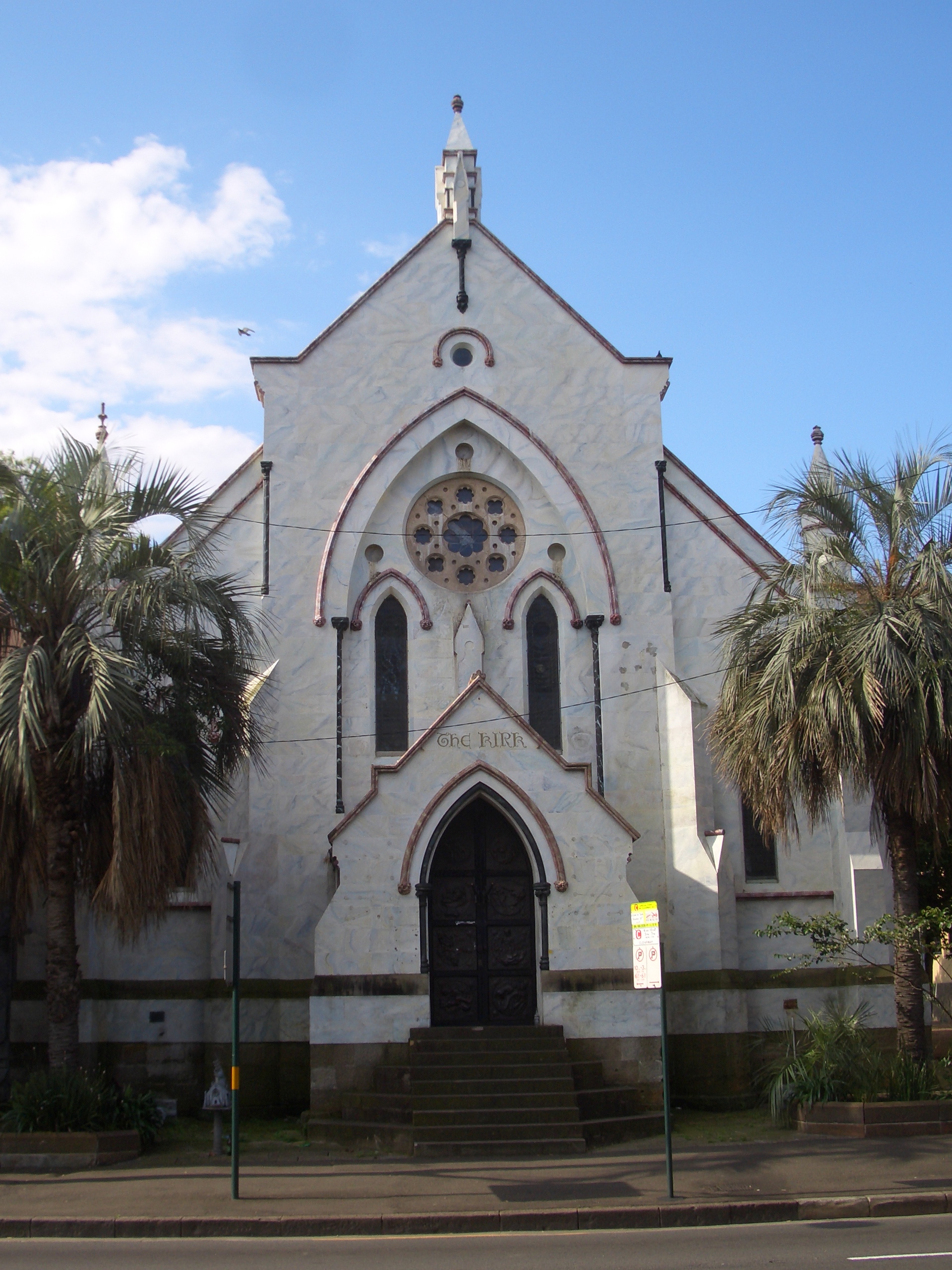

The Kirk, a deconsecrated church used as a multi-purpose venue
|
|
Landmarks[]
St Margaret's Hospital, Sydney Police Centre, Centennial Plaza, Belvoir Street Theatre, Tom Mann Theatre, Prince Alfred Park, Harmony Park, Surry Hills Library and Community Centre.
Restaurants[]
Surry Hills boasts a diverse range of cafes and restaurants serving a wide variety of cooking styles and cultures. The suburb has one of the highest, if not the highest, concentration of restaurants[8].
Pubs and bars[]
Because of its industrial and commercial history, the Surry Hills area contains a significant number of pubs. The style of pubs range from the Victorian period, to Federation and Art Deco pubs from the mid-1900s. Many of these have been refurbished in recent years to include restaurants and modern facilities. Some of the more popular pubs in Surry Hills include


The Surry Hotel, Elizabeth Street
|
|
Heritage buildings[]
The following buildings are listed on the Register of the National Estate:[9]


Former police station, now used as Positive Living Centre, 703 Bourke Street (listed on National Estate)
- House, 177-177A Albion Street
- Bourke Street, Public School, an inner city school established in 1880 and located in heritage classified buildings [10]
- Cleveland House, Bedford Street
- Former Wesleyan Chapel, 348A Bourke Street
- Former Police Station, 703 Bourke Street
- Public School, corner Cleveland and Chalmers Streets
- Terraces, 15-33 Collins Street
- Public School, Crown Street
- Houses, 150-156 Flinders Street
- Terraces, 368-378 South Dowling Street
- St Michael's Church, hall and rectory, Albion Street
- Terrace, 197-201 Albion Street
- House, 203-205 Albion Street
- Durham Hall, 207 Albion Street
- Riley Street Infants School, 378-386 Riley Street
Housing[]
Surry Hills is largely composed of Victorian terraced houses with some converted warehouses and large apartment buildings in the western part of the suburb. Amongst the newer developments is [11] The Monument in Pelican Street (on the boundary of Surry Hills and Darlinghurst), a residential complex located above the Oxford Square shopping centre. The Monument is an example of contemporary architecture designed by architects based in Melbourne [12].
Schools[]
Bourke Street Public School, Crown Street Public School, Sydney Community College.
Population[]
Demographically Surry Hills is now characterised as a mixture of relatively affluent newcomers who have gentrified the suburb, long-time residents and a number of transients. There are a large number of hostels and other facilities for transients and the homeless in the area.
References[]
- ^ ABS Census 2006
- ^ Surry Hills, accessed 4 July 2008
- ^ Gregory's Sydney Street Directory, Gregory's Publishing Company, 2002, Map 19
- ^ The Book of Sydney Suburbs, Frances Pollon, Angus & Robertson Publishers, 1990, p.249 ISBN 0-207-14495-8
- ^ Book of Sydney Suburbs, p.249
- ^ http://cityofsydney.nsw.gov.au/Development/CityImprovements/CompletedProjects/SurryHillsLibraryCommunityCentre.asp
- ^ site
- ^ Sydney Morning Herald Good Food Guide
- ^ The Heritage of Australia, Macmillan Company, 1981, p.2/88
- ^ http://www.bourkest-p.schools.nsw.edu.au/
- ^ The Monument
- ^ Wood/Marsh
External links[]
- Reference, demographics and article (cc-by-sa) on Surry Hills in the Dictionary of Sydney
- Surry Hills, New South Wales is at coordinates Coordinates:
| |||||||||||
| This page uses content from the English language Wikipedia. The original content was at Surry Hills, New South Wales. The list of authors can be seen in the page history. As with this Familypedia wiki, the content of Wikipedia is available under the Creative Commons License. |