| Main | Births etc |
|---|
| ||||||||||||||
| Shivpuri district शिवपुरी जिला |
|
|---|---|
| — District of Madhya Pradesh — | |
 |
|
| Country | India |
| State | Madhya Pradesh |
| Administrative division | Gwalior |
| Established | |
| Headquarters | Shivpuri |
| Area | |
| • Total | 10,298 km2 (3,976 sq mi) |
| Population (2011) | |
| • Total | 1,725,818 |
| • Density | 170/km2 (430/sq mi) |
| Demographics | |
| • Literacy | 63.73 per cent |
| • Sex ratio | 877 females over 1000 males |
| Major highways | NH3 and NH25 |
| Average annual precipitation | July to September mm |
| Website | Official website |
Shivpuri District is a district of Madhya Pradesh state of India. The town of Shivpuri is the district headquarters.
History[]
Most of present-day Shivpuri District formed Narwar District of the erstwhile princely state of Gwalior, with Shivpuri as administrative headquarters of the district. After India's independence in 1947, the princely states acceded to the Government of India, and Shivpuri District acquired its present boundaries with the addition of the small princely state of Khaniadhana in the southeast of the district, portions of Datia state in the northeast, and most of Pauri estate in the northwest. Shivpuri District became part of the new state of Madhya Bharat, which was merged into Madhya Pradesh in 1956.
Narwar[]
Shivpuri District has Narwar town of historical importance just east of the Kali Sind River, situated at a distance of 41 km from Shivpuri. It is famous for medieval fortress of Narwar.
Madhav Chauk[]
Madhau Chauk is a main market of city Shivpuri. All marketing facilities are available here.


Madhav Chauk
Madhav National Park[]


Madhav National Park
Madhav National Park is located between Agra-Mumbai and Jhansi-Shivpuri road.Its area is 157.58 square kilometers.The park is open to visitors throughout the year. Blackbuck, Indian gazelle and chital Knil large number of cows, sambar, Chausinga, black buck, sloth bears, leopards and other inhabitants of the park . Shivpuri is famous for Madhav National Park. This national park has a varied terrain of forested hills and flat grasslands around the lake. It is very rich in biodiversity.Sakhya Sagar and Madhav Sagar lakes, created on Manier River in 1918, are two important biodiversity support systems in the national park. The Sailing Club situated on Sakhya Sagar at the entrance of the National park is a place of scenic beauty.
View of Sailing Club Shivpuri
Famous Person[]
Col. G.S. Dhillon is a famous person from Shivpuri District. He was the last survivor of the Historic trial on 5 November 1945 at the Red Fort. He was living at Hatod village in Shivpuri District till his death.
Important towns[]
- Badarwas,
- Karera,
- Khaniyadhana,
- Kolaras,
- Narwar
- Pichhore.
Tourist Village[]


Tourist Village Shivpuri
Shivpuri Tourism Center.Here the tourist is always keep coming.Shivpuri is the center of attraction for tourists throughout the year,but Shivpuri attract to tourist after first rain .Tourist Village is located here to stay for tourist near Picnic Spot Bhadaiya Kund .
Chhatari[]
Chhatari (memorials ) ornate marble is a fine example of workmanship.
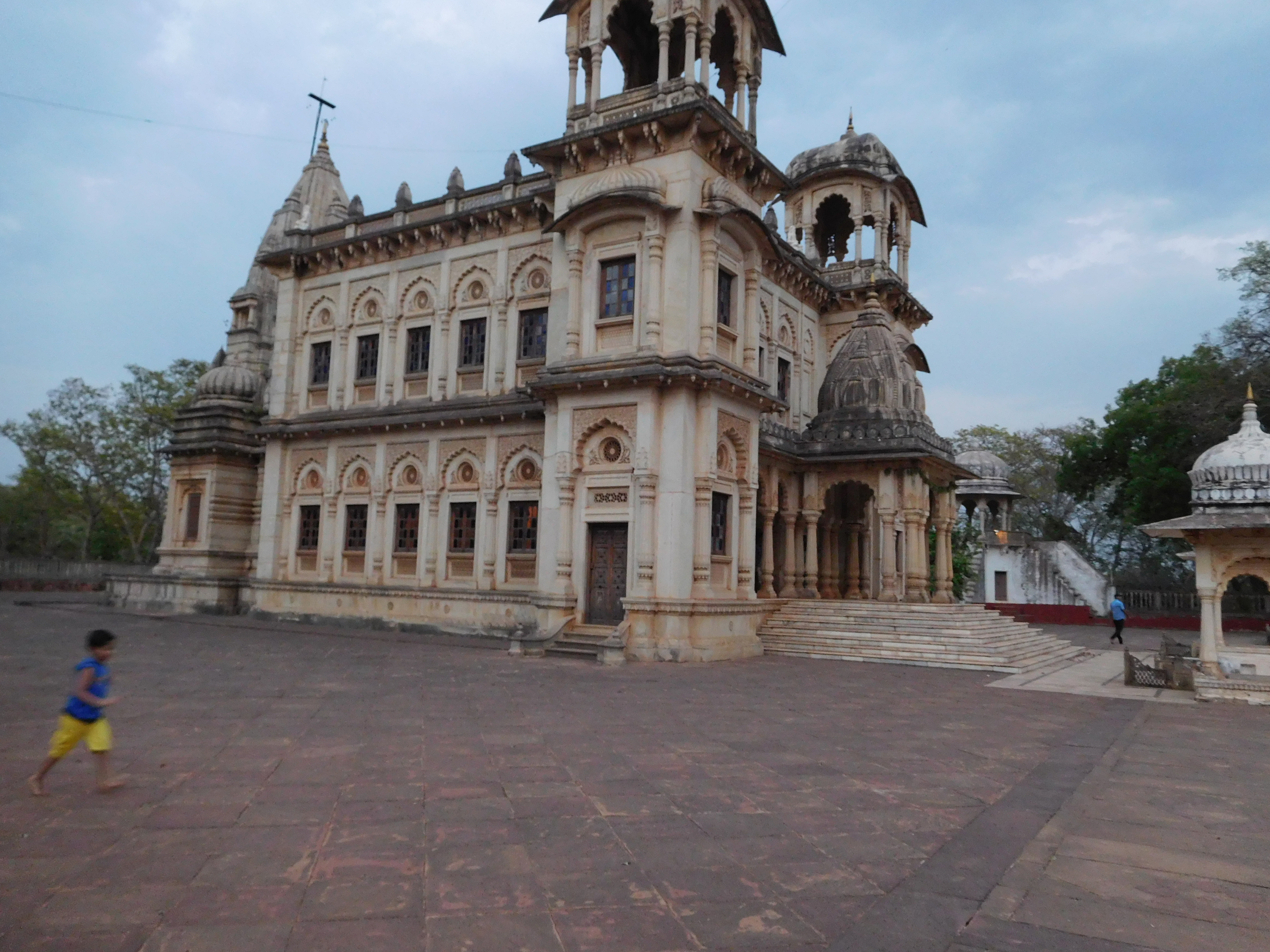

Chhatari (Shivpuri) a memorials
Its campus is on Chhatari Road which leads from Do Battai Chauraha to Bhadaiya Kund. As we enter in the campus of Chhatari ,we view first memorial of dowager queen Maharani Sakhya Raje Scindia, in a delighful fusion of Hindu and Islamic architectural styles, with their shikhara type spires and Rajput and Mughal pavilions.A tank is created in front of this memorial.The memorial of Madhav Rav Scindhia is built across the tank facing to wards Maharani Sakhya Raje Scindhia.


Chhatari (Tank)
One side of the tank a temple is established of Lord Ram with Seeta , Lakshman and other side a temple is established of Radha- Krishna. All memorials & temples are built by Scindhia Princes of Gwalior.
Management of Chhatari is under control of a registered trust.[1]
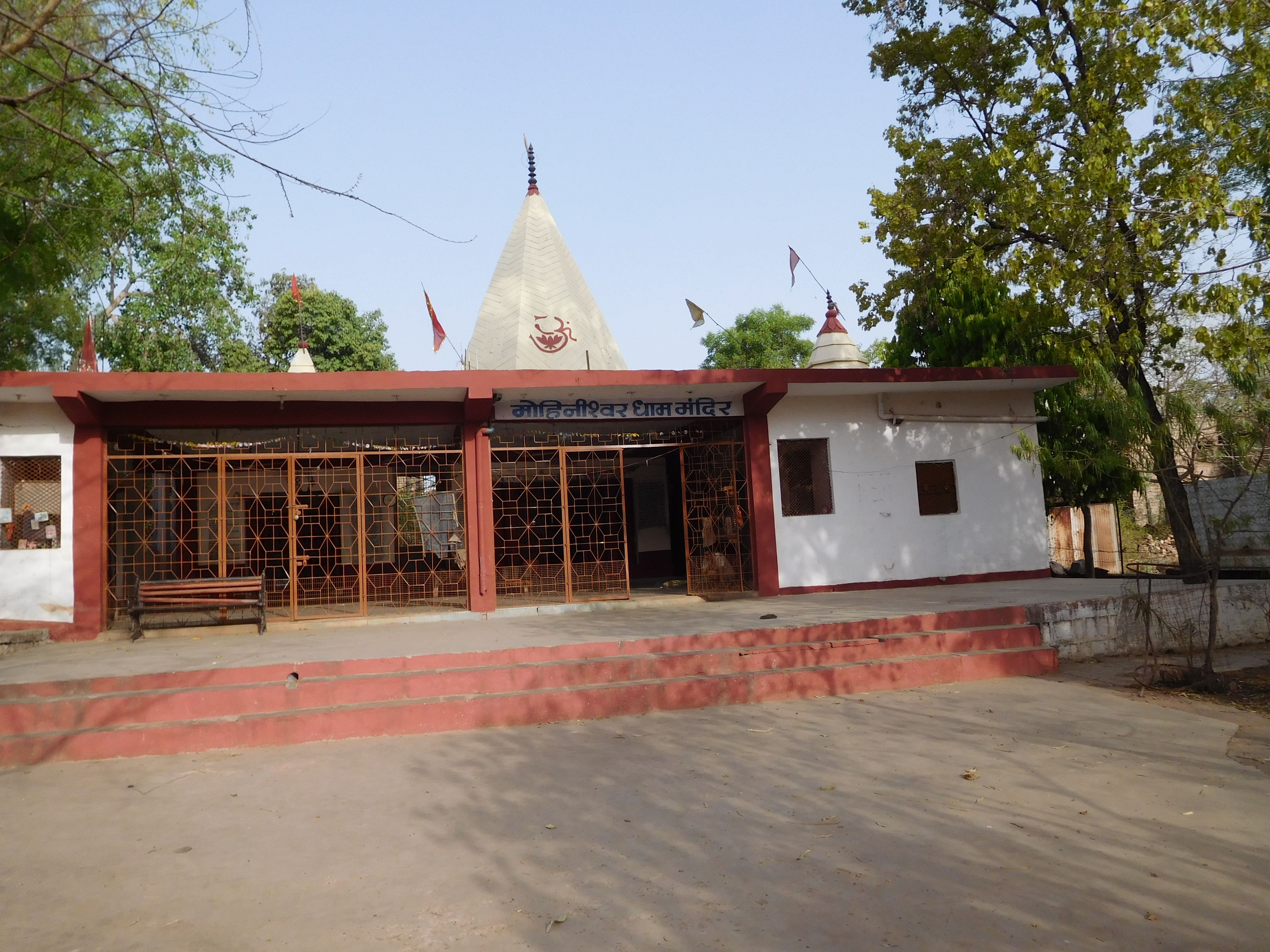
Religious Places[]
- Ban Ganga Dham
- Mohineshwar Dham


Mohineshwar Dham Mandir
- Chintaharan Mandir
- Shiv Temple (Chhatari Road)
_a_memorials.JPG)
.JPG)
Economy[]
In 2006 the Ministry of Panchayati Raj named Shivpuri one of the country's 250 most backward districts (out of a total of 640).[2] It is one of the 24 districts in Madhya Pradesh currently receiving funds from the Backward Regions Grant Fund Programme (BRGF).[2]
Demographics[]
According to the 2011 census Shivpuri district has a population of 1,725,818,[3] roughly equal to the nation of The Gambia[4] or the US state of Nebraska.[5] This gives it a ranking of 280th in India (out of a total of 640).[3] The district has a population density of 168 inhabitants per square kilometre (440 /sq mi) .[3] Its population growth rate over the decade 2001-2011 was 22.74%.[3] Shivpuri has a sex ratio of 877 females for every 1000 males,[3] and a literacy rate of 63.73%.[3]
Gallery[]
")
")
")
")
")
.JPG "Chhatari (in side view).JPG (4.01 MB)")
")
")
")
")
.JPG "Bhadaiya Kund (main view).JPG (3.58 MB)")
_Shivpuri.JPG "Ban Ganga Dham Temple(Front view) Shivpuri.JPG (3.6 MB)")
References[]
- ^ http://shivpuri.nic.in/Tourism.html
- ^ a b Ministry of Panchayati Raj (September 8, 2009). "A Note on the Backward Regions Grant Fund Programme". National Institute of Rural Development. http://www.nird.org.in/brgf/doc/brgf_BackgroundNote.pdf. Retrieved September 27, 2011.
- ^ a b c d e f "District Census 2011". Census2011.co.in. 2011. http://www.census2011.co.in/district.php. Retrieved 2011-09-30.
- ^ US Directorate of Intelligence. "Country Comparison:Population". https://www.cia.gov/library/publications/the-world-factbook/rankorder/2119rank.html. Retrieved 2011-10-01. "Gambia, The 1,797,860 July 2011 est."
- ^ "2010 Resident Population Data". U. S. Census Bureau. http://2010.census.gov/2010census/data/apportionment-pop-text.php. Retrieved 2011-09-30. "Nebraska 1,826,341"
External links[]

|
Sheopur district | Gwalior district | Datia district |
|
| Baran district, Rajasthan | Jhansi district, Uttar Pradesh | |||
 Shivpuri district | ||||
| Guna district | Ashoknagar district | Lalitpur district, Uttar Pradesh |
| ||||||||||||||||||||
Template:Gwalior Division
| This page uses content from the English language Wikipedia. The original content was at Shivpuri district. The list of authors can be seen in the page history. As with this Familypedia wiki, the content of Wikipedia is available under the Creative Commons License. |