| Main | Births etc |
|---|
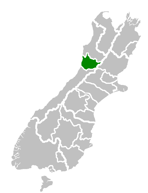
| Grey District | |
|---|---|
| — Territorial authority — | |
 |
|
| Country | New Zealand |
| Region | West Coast Regional Council |
| District | Grey District Council |
| Seat | Greymouth |
| Government | |
| • Mayor | Tony Kokshoorn |
| Area | |
| • Total | 3,516.48 km2 (1,357.72 sq mi) |
| Population (June 2012 estimate)[1] | |
| • Total | 13,850 |
| • Density | 3.9000000000000/km2 (10/sq mi) |
| Time zone | NZST (UTC+12) |
| • Summer (DST) | NZDT (UTC+13) |
| Postcode(s) | Map of postcodes |
| Area code(s) | 03 |
| Website | greydc.govt.nz |
Grey District in the West Coast Region of New Zealand is a municipality that covers Greymouth, Runanga, Blackball, Cobden and settlements along the Grey River. It has a land area of 3,516.48 km² (1,357.72 sq mi). The seat of the Grey District Council, the local government authority that administers the district, is at Greymouth, where 27% of the district's population live.
Population[]
The district had a population of 13,221 at the 2006 census, of whom 8% were Maori. Of the total population, 3600 lived in Greymouth, 1221 in Runanga, 1707 in Cobden and 330 in Blackball. With around 95% of its inhabitants being of European descent (2001 Census), the Grey District has a very homogeneous ethnic composition. Forty per cent of the population had no educational qualifications in 2001, as against around 27% in New Zealand as a whole.[2]
Infrastructure[]
There are 619 km of road in the district, of which 358 km are sealed (2000s data).[2]
Destruction of historic site[]
Greymouth has an historic World War II gun emplacement at Cobden. The council destroyed part of this site, without consultation, in 2007 to make way for a sewer line [3]
History[]
A county in the area was Grey County, New Zealand.
References[]
- ^ "Subnational population estimates at 30 June 2012". Statistics New Zealand. 23 October 2012. http://www.stats.govt.nz/browse_for_stats/population/estimates_and_projections/subnational-pop-estimates-tables.aspx. Retrieved 23 October 2012. Also "Infoshare; Group: Population Estimates - DPE; Table: Estimated Resident Population for Urban Areas, at 30 June (1996+) (Annual-Jun)". Statistics New Zealand. 19 December 2012. http://www.stats.govt.nz/infoshare/SelectVariables.aspx?pxID=2f5a6aa2-7aeb-4792-a34a-d5567eb8082f. Retrieved 23 October 2012.
- ^ a b District Profile (from the 'Long Term Community Outcomes Plan: 2006-2016', amended June 2007) Cite error: Invalid
<ref>tag; name "PROF" defined multiple times with different content - ^ 134 Heavy Battery NZA Greymouth
External links[]
| |||||||||||||||||||
| This page uses content from the English language Wikipedia. The original content was at Grey District. The list of authors can be seen in the page history. As with this Familypedia wiki, the content of Wikipedia is available under the Creative Commons License. |