| Main | Births etc |
|---|
| Ramsgate Sydney, | |||||||||||||
 Intersection Tavern, corner of Rocky Point Road and Ramsgate Road | |||||||||||||
| Population: | 1,053 | ||||||||||||
| Postcode: | 2217 | ||||||||||||
| Location: | 16 km (10 mi) south of Sydney CBD | ||||||||||||
| LGA: | City of Rockdale | ||||||||||||
| State District: | Rockdale | ||||||||||||
| Federal Division: | Barton | ||||||||||||
| |||||||||||||

Ramsgate RSL
Rocky Point Road, Ramsgate

Rocky Point Road, Ramsgate


Rocky Point Road, Ramsgate
Ramsgate is a suburb in southern Sydney, in the state of New South Wales, Australia 16 km south of the Sydney central business district. It is part of the St George area. Ramsgate is in the local government area of the City of Rockdale. Ramsgate Beach is a separate suburb, to the east.
Ramsgate is surrounded by the suburbs of Ramsgate Beach, Monterey, Kogarah, Beverley Park and Sans Souci.
History[]
The area between Cooks River and Georges River was originally known as Seven Mile Beach. It was changed to Lady Robinson’s Beach in 1874 to honour the wife of Governor Sir Hercules Robinson. Cook Park is named after Samuel Cook who advocated it as a public pleasure area. Ramsgate was named after the seaside resort in England. A model village was originally planned for the suburb but later abandoned.
Scarborough Park was created in the 1830s from part of Pat Moore's Swamp or Patmore Swamp. Patrick Moore was granted 60 acres (240,000 m2) of land in 1812. It was named by the Hon. Thomas Holt after the English coastal town of Scarborough, Yorkshire and the First Fleet convict ship which was briefly anchored in Botany Bay in 1788.[1]
Commercial area[]
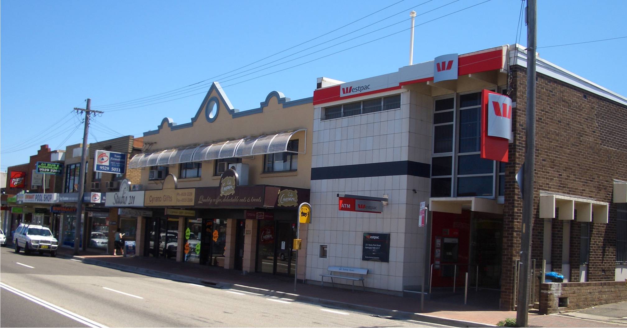
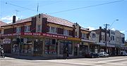
The suburb is mostly residential with a shopping strip on Rocky Point Road, near the intersection with Ramsgate Road. The strip includes the post office and a pub called The Intersection. Another shopping strip including a supermarket is located just over the border at Ramsgate Beach, on Ramsgate Road, near The Grand Parade. Ramsgate RSL Club is located on the border, near this shopping strip.
Parks[]
- Scarborough Park, Leo Smith Reserve, Tonbridge St Reserve, Rotary Park.
Landmarks[]
- Syd Frost Memorial Hall
- Ramsgate Primary School
- Ramsgate RSL
- Duke of York (Pub)
Population[]
According to the 2006 Australian Bureau of Statistics Census of Population, there were 1,053 people usually resident in Ramsgate. 25.7% stated they were born overseas with the top countries of birth being Greece 4.2%, United Kingdom 3.6% and Egypt 3.1%. English was stated as the only language spoken at home by 57.8% of residents and the most common other languages spoken were Greek 10.6%, Arabic 5.3% and Portuguese 1.7%. The most common responses for religious affiliation were Catholic 24.6%, Anglican 21.1% and Orthodox 16.1%.
References[]
- ^ The Book of Sydney Suburbs, Compiled by Frances Pollon, Angus & Robertson Publishers, 1990, Published in Australia ISBN 0-207-14495-8, pages 216-217
| ||||||||
| This page uses content from the English language Wikipedia. The original content was at Ramsgate, New South Wales. The list of authors can be seen in the page history. As with this Familypedia wiki, the content of Wikipedia is available under the Creative Commons License. |