| The Rocks Sydney, | |||||||||||||
 Circular Quay West | |||||||||||||
| Population: | 614 (2006)[1] | ||||||||||||
| Postcode: | 2000 | ||||||||||||
| Area: | 0.2 km² (0.1 sq mi) | ||||||||||||
| Location: | 1 km (1 mi) from Sydney CBD | ||||||||||||
| LGA: | City of Sydney | ||||||||||||
| Parish: | St. Philip | ||||||||||||
| State District: | Sydney[2] | ||||||||||||
| Federal Division: | Sydney[3] | ||||||||||||
| |||||||||||||

Campbell's Cove
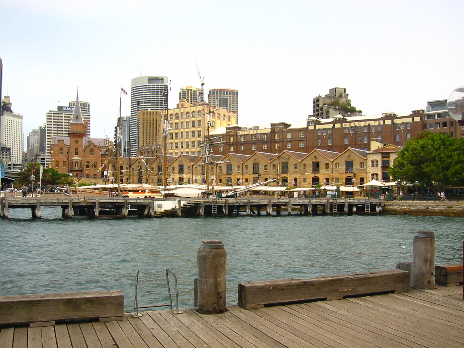
The Rocks is an urban locality, tourist precinct and historic area of Sydney's city centre, in the state of New South Wales, Australia. It is located on the southern shore of Sydney Harbour, immediately north-west of the Sydney central business district. The precinct and its immediate surroundings are administered independently of the local government area of the City of Sydney, by a New South Wales state government statutory authority, the Sydney Harbour Foreshore Authority.
The Rocks area borders on the Bradfield Highway, leading to the Sydney Harbour Bridge, with the localities of Dawes Point and Millers Point, to the west. It is immediately adjacent to Circular Quay on Sydney Cove, the site of Australia's first European settlement in 1788.
History[]
The Rocks became established shortly after the colony's formation in 1788. The original buildings were made mostly of local sandstone, from which the area derives its name. From the earliest history of the settlement, the area had a reputation as a slum, often frequented by visiting sailors and prostitutes. During the late nineteenth century, the area was dominated by a gang known as the Rocks Push. It maintained this rough reputation until approximately the 1870s.
By the early 20th century, many of the area's historic buildings were in serious decay. In 1900, bubonic plague broke out, and the state government resumed areas around The Rocks and Darling Harbour, with the intention of demolishing them and rebuilding them. More than 3800 houses, buildings and wharves were inspected and hundreds demolished, but the continuation of these plans were brought to a halt due to the outbreak of World War I.[4] During the 1920s, several hundred buildings were demolished during the construction of the Sydney Harbour Bridge. However, the outbreak of World War II once again stalled many of the redevelopment plans, and it was not until the 1960s that serious attempts to demolish much of the area were revived.
In 1968, the state government gave control of The Rocks to the Sydney Cove Redevelopment Authority, with the intention of demolishing all the original buildings, re-developing them as high-density residential dwellings. In February 1971, a group of local residents formed the Rocks Residents Group to oppose the plans. They felt that the new dwellings would result in increased rents, which would force out the traditional residents of the area. The residents' group requested a Green ban from the Builder's Labourers Federation, who had become increasingly active in preventing controversial developments over the previous four years.


The Rocks, New South Wales
By 1973, the union had imposed the ban, and after discussions with the Sydney Cove Redevelopment Authority, a 'People's Plan' was developed. By October 1973, it appeared that the redevelopment would proceed as originally planned, using non-union labour. For two weeks, demonstrations by local residents and unionists followed, with numerous arrests being made. Liberal Premier Robert Askin was in the midst of an election campaign, and used the protests as a means of conveying his law and order message to voters. However, the green ban stayed in place until 1975, when the state union leadership was overthrown, and was ultimately successful, as can be seen in the buildings that survive today. Instead of demolishing The Rocks, renovations transformed the area into a commercial and tourist precinct.
Today the Rocks is a partly gentrified area, but still contains a significant proportion of Housing Commission properties, and there is still a significant problem of urban poverty and street crime in this district. As housing stock becomes dilapidated, government policy is to sell the now extremely valuable public housing units to private owners, in the expectation that they will restore the properties.
Culture[]
Rocks Market
The close proximity to Circular Quay and the views of the iconic Harbour Bridge, as well as the historic nature of many of the buildings, mean that the Rocks is very popular with tourists. It features a variety of souvenir and craft shops, and many themed and historic pubs. The Rocks Market operates each weekend, with around 100 stalls. During the week, shopping options include galleries exhibiting Australian artists, such as Ken Done and Ken Duncan, as well as Australian clothing, such as R M Williams, and Australian opal shops, including Opal Minded, Flame Opals and Rockhounds. There are numerous historic walks through the area, visiting historical buildings such as Cadmans Cottage and Sydney Observatory, and the Dawes Point Battery, which was the first fortified position in New South Wales.
Two separate pubs in The Rocks claim to be Sydney's oldest surviving pubs: the Fortune of War and the Lord Nelson. Others in the area include the Observer, the Orient, the Mercantile, the Palisade and the Hero of Waterloo.
A passenger boat terminal and the Museum of Contemporary Art, Sydney is also situated beside the Rocks area. The precinct can also be accessed by rail, as it is within walking distance of Circular Quay station.
Gallery[]
")
")
")
")
")
")
")
")
References[]
- ^ "2006 Census Community Profile Series : The Rocks (Sydney) (State Suburb)". Australian Bureau of Statistics. Accessed 31 October 2009.
- ^ "Sydney". Electoral Commission of NSW. http://www.elections.nsw.gov.au/state_government_elections/electoral_districts/all_districts_/sydney.
- ^ "Sydney". Australian Electoral Commission. http://www.aec.gov.au/_content/who/profiles/s/sydney.htm.
- ^ How plague almost demolished historic Sydney, Australian Geographic, August 16, 2010.
External links[]
- The Rocks, Sydney is at coordinates Coordinates:
| |||||||||||
Template:Sydney landmarks
| This page uses content from the English language Wikipedia. The original content was at The Rocks, Sydney. The list of authors can be seen in the page history. As with this Familypedia wiki, the content of Wikipedia is available under the Creative Commons License. |