| Main | Births etc |
|---|
| Upper Providence Township | |
| Township | |
| Country | United States |
|---|---|
| State | Pennsylvania |
| County | Montgomery |
| Location | GNIS Entry [1]
|
| - elevation | 105 ft (32 m) [1] |
| - coordinates | |
| Area | 18.2 sq mi (47.1 km²) |
| - land | 17.8 sq mi (46 km²) |
| - water | 0.4 sq mi (1 km²), 2.2% |
| Population | 21,219 (2010) |
| Density | 862.9 / sq mi (333.2 / km²) |
| Founded | 1805 |
| Timezone | EST (UTC-5) |
| - summer (DST) | EDT (UTC-4) |
| Area code | 610 |
 Location of Upper Providence Township in Montgomery County
| |
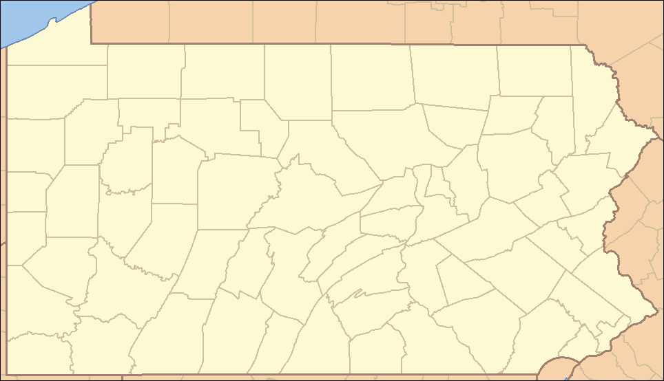 Location of Upper Providence Township in Pennsylvania
| |
 Location of Pennsylvania in the United States
| |
| Website: http://www.uprov-montco.org | |
Upper Providence Township is a township in Montgomery County, Pennsylvania, United States. As of the 2010 census, the township population was 21,219.
History[]
Upper Providence Township was established in 1805 by the division of the former Providence Township along the Perkiomen Creek.[2] In 1896, the Burroughs of Collegeville and Trappe were created from northeastern portions of the township, yielding the present township boundaries.
Geography[]
According to the United States Census Bureau, the township has a total area of 18.2 square miles (47.2 km²), of which, 17.8 square miles (46.2 km²) of it is land and 0.4 square miles (1.0 km²) of it (2.09%) is water. Upper Providence is bordered to the northwest by Royersford Borough and Limerick Township; to the northeast by Perkiomen Township, Trappe Borough, and Collegeville Borough; to the southeast, separated by the Perkiomen Creek, is Lower Providence Township; and to the southwest, separated by the Schuylkill River, is Chester County.
Demographics[]
| Historical populations | |||
|---|---|---|---|
| Census | Pop. | %± | |
| 1930 | 3,628 | ||
| 1940 | 3,895 | 7.4% | |
| 1950 | 4,486 | 15.2% | |
| 1960 | 5,607 | 25.0% | |
| 1970 | 6,202 | 10.6% | |
| 1980 | 9,551 | 54.0% | |
| 1990 | 9,682 | 1.4% | |
| 2000 | 15,398 | 59.0% | |
| 2010 | 21,219 | 37.8% | |
| www.dvrpc.org/data/databull/rdb/db82/appedixa.xls.</ref> | |||
As of the 2010 census, the township was 86.6% White, 3.5% Black or African American, 0.1% Native American, 7.9% Asian, and 1.5% were two or more races. 2.2% of the population were of Hispanic or Latino ancestry [1].
As of the census[3] of 2000, there were 15,398 people, 5,355 households, and 4,101 families residing in the township. The population density was 862.9 people per square mile (333.3/km²). There were 5,545 housing units at an average density of 310.7/sq mi (120.0/km²). The racial makeup of the township was 93.51% White, 2.57% African American, 0.10% Native American, 2.77% Asian, 0.03% Pacific Islander, 0.27% from other races, and 0.76% from two or more races. Hispanic or Latino of any race were 1.34% of the population.
There were 5,355 households out of which 42.2% had children under the age of 18 living with them, 65.6% were married couples living together, 8.4% had a female householder with no husband present, and 23.4% were non-families. 18.7% of all households were made up of individuals and 4.1% had someone living alone who was 65 years of age or older. The average household size was 2.77 and the average family size was 3.20.
In the township the population was spread out with 28.1% under the age of 18, 4.8% from 18 to 24, 37.5% from 25 to 44, 19.7% from 45 to 64, and 9.9% who were 65 years of age or older. The median age was 35 years. For every 100 females there were 90.8 males. For every 100 females age 18 and over, there were 87.4 males.
The median income for a household in the township was $75,789, and the median income for a family was $85,660. Males had a median income of $54,764 versus $37,193 for females. The per capita income for the township was $31,251. About 1.1% of families and 1.5% of the population were below the poverty line, including 1.6% of those under age 18 and 0.7% of those age 65 or over.
Government and Politics[]
| Year | Republican | Democrat |
|---|---|---|
| 2008 | 45.7% 4,681 | 53.5% 5,480 |
| 2004 | 53.6% 4,590 | 45.9% 3,928 |
| 2000 | 51.9% 3,198 | 45.0% 2,770 |
| 1996 | 45.1% 1,980 | 41.0% 1,802 |
| 1992 | 40.2% 1,682 | 35.7% 1,495 |
Communities[]
The following are unincorporated communities within Upper Providence.
|
|
Education[]
Upper Providence Township is a member of the Spring-Ford Area School District.
References[]
- ^ a b "Township of Upper Providence". Geographic Names Information System. United States Geological Survey. December 1, 1989. http://geonames.usgs.gov/pls/gnispublic/f?p=gnispq:3:::NO::P3_FID:1216881. Retrieved 2008-08-04.
- ^ Bean, Theodore W., ed (1884). HISTORY OF MONTGOMERY COUNTY PENNSYLVANIA, ILLUSTRATED, 1884. Philadelphia: Everts & Peck. p. 1056. http://usgwarchives.net/pa/montgomery/beantoc.htm.
- ^ "American FactFinder". United States Census Bureau. http://factfinder.census.gov. Retrieved 2008-01-31.
External links[]
- Upper Providence Township (official website)
- Upper Providence Township, CHAPTER LXXII, BEAN'S HISTORY OF MONTGOMERY COUNTY, PENNSYLVANIA, 1884
| ||||||||||||||||||||||||||

| This page uses content from the English language Wikipedia. The original content was at Upper Providence Township, Montgomery County, Pennsylvania. The list of authors can be seen in the page history. As with this Familypedia wiki, the content of Wikipedia is available under the Creative Commons License. |