| ||||||||||||||
| West Khasi Hills district West Khasi |
|
|---|---|
| — District of Meghalaya — | |
 |
|
| Country | India |
| State | Meghalaya |
| Established | |
| Headquarters | Nongstoin |
| Government | |
| • Assembly seats | 7 |
| Area | |
| • Total | 5,247 km2 (2,026 sq mi) |
| Population (2001) | |
| • Total | 294,115 |
| • Density | 56/km2 (150/sq mi) |
| Demographics | |
| • Literacy | 53% |
| • Sex ratio | |
| Website | Official website |
West Khasi Hills is an administrative district in the state of Meghalaya in India.
History[]
The West Khasi Hills district was carved out of the erestwhile Khasi Hills district, which was dividied into West and East Khasi Hills districts on 28 October 1976.
Geography[]
The district headquarters is located at Nongstoin. The district occupies an area of 5247 km²
Divisions[]
Administrative divisions[]
West Khasi Hills district is divided into six blocks:[1]
| Name | Headquarters | Population | Location |
| Mairang | Mairang |  | |
| Mawkyrwat | Mawkyrwat |  | |
| Mawshynrut | Riangdo | 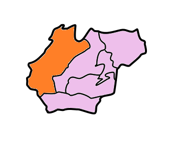 | |
| Mawthadraishan | Nongshillong | 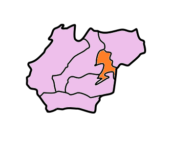 | |
| Nongstoin | Nongstoin | 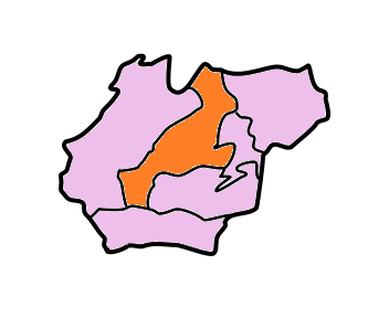 | |
| Ranikor | Ranikor |  |
Demographics[]
According to the 2011 census West Khasi Hills district has a population of 385,601 ,[2] roughly equal to the nation of Maldives.[3] This gives it a ranking of 560th in India (out of a total of 640).[2] The district has a population density of 73 inhabitants per square kilometre (190 /sq mi) .[2] Its population growth rate over the decade 2001-2011 was 30.25 %.[2] West Khasi Hills has a sex ratio of 981 females for every 1000 males,[2] and a literacy rate of 79.3 %.[2]
The district is predominantly inhabited by Khasi tribe.
Culture[]
Khasi society has greatly been transformed by many factors which have arisen in recent times. Adoption of the Western style of life, especially among the literate and educated, have been quite rapid although the matrilineal laws of inheritance and succession and the other cultural traits are still retained.
Places of interest[]
- Langshiang Falls - 3rd highest waterfalls in India.
References[]
- ^ The Registrar General & Census Commissioner, India, New Delhi, Ministry of Home Affairs, Government of India (2011) (in English) (PDF). Meghalaya Administrative Divisions (Map). http://censusindia.gov.in/2011census/maps/administrative_maps/MEGHALAYA.pdf. Retrieved 2011-09-29.
- ^ a b c d e f "District Census 2011". Census2011.co.in. 2011. http://www.census2011.co.in/district.php. Retrieved 2011-09-30.
- ^ US Directorate of Intelligence. "Country Comparison:Population". https://www.cia.gov/library/publications/the-world-factbook/rankorder/2119rank.html. Retrieved 2011-10-01. "Maldives 394,999 July 2011 est."
External links[]
- West Khasi Hills website
- Khasi Hills Autonomous District Council website
- West Khasi Hills District website

|
East Garo Hills | Darrang District, Assam | Ri-Bhoi |
|
 West Khasi Hills | ||||
| South Garo Hills | Bangladesh | East Khasi Hills |
Template:Meghalaya
| This article related to a location in the Indian state of Meghalaya is a stub. You can help by expanding it. |
| This page uses content from the English language Wikipedia. The original content was at West Khasi Hills district. The list of authors can be seen in the page history. As with this Familypedia wiki, the content of Wikipedia is available under the Creative Commons License. |